Your review has been added. The review may take up to 24 hours to display.

Roll over to zoom in or click to enlarge
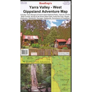
ROOFTOPS MAP Yarra Valley-West Gippsland Adventure Map
Condition: NEW
Be the first to write a review.
Code:YVWG
This map is ideal for motor biking, bush camping and four-wheel driving in this area.
This double-sided map includes Yarra Ranges National Park, Bunyip and Mt Worth State Parks, Kurth Kiln Park, Yarra, La Trobe and Toolangi State Forests, as well as Pakenham, Warburton, Noojee, Marysville, Neerim South, Drouin, Gembrook, Warragul, Healesville and Powellton, with the reverse covering from Gembrook to Noojee, complete with forest activity information.
This map includes:
- Track classifications
- Camping and facility symbols
- Fishing spots
- GPS coordinates
Enter a quantity:
Stock AvailabilityReviews
MELROSE PARK, SAPlease contact store to check availability
CASUARINA, N.T.Please contact store to check availability
BERRIMAH, N.T.Please contact store to check availability
MELBOURNE WAREHOUSE, VIC.Please contact store to check availability
TOTTENHAM, VIC.Please contact store to check availability
SYDNEY C.B.D - YORK STPlease contact store to check availability
DUBBO, N.S.WPlease contact store to check availability